Public Boat Ramps in Cecil County
and on adjacent waters
General Notes

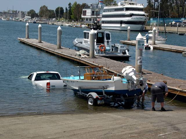
Unclear on the concept
Public Boat Ramps in Cecil Countyand on adjacent watersGeneral Notes |
 Unclear on the concept |
In the boat ramp table:
Click on the name in the first column to bring up a MapQuest map showing the exact location of the boat ramp. Once you are zoomed in, click on "Aerial Map" at the upper right corner of the map to get a satellite photo of the area that can be quite informative.
Click on the image in the next-to-last column to bring up a larger version of the same.
Our notes for each of the boat ramps are always a work in progress and we ask for your corrections and additions. We are in particular need of fishing tips. Send your input to info@cecillanduse.org with the subject line "boat ramp notes". Thanks!
Please remember that the ecology of the Chesapeake Bay remains endangered and is quite vulnerable to human contamination. Never dump litter or waste liquids of any kind overboard, and generally adopt the lightest "footprint" possible in your interaction with nature.
The depths shown on nautical charts are supposed to be for mean low water but, especially in the upper Bay area, the measurements are quite old. Many tidal rivers in the upper Bay area are quite shallow. Development upstream may have increased stream flow during storms, so that shoals may have shifted, rivers may have silted up, etc. Treat the depths shown on charts with skepticism and use considerable caution in shallow water.
In Maryland, public property includes all tidal water and shorelines up to mean high water. This means that, at low tide, there may be exposed areas on the shoreline that are publicly accessible from the water. Respect private property above the mean high tide line.
Rules of thumb for tides in Cecil County:
At New Moon and Full Moon, there is a high tide in mid-morning (and 12.4 hours later)
At First and Last Quarter Moon (the half-moon phases), there is a low tide in mid-morning (and 12.4 hours later)
At any given place, the times of tides shift later by about 50 minutes per day on average.
Submerged aquatic vegetation (SAV) in shallow water can be a pain to deal with, especially at low tide in late summer, but it is generally a good thing! It contributes significantly to water quality and clarity, and provides habitat for fish and blue crabs. Much of it in our area is composed of non-native species, however.
Zebra mussels are present in the Susquehanna River near the Conowingo Dam. These bivalves are an invasive species from Asia that can accumulate in large, dense clusters. They have been a major nusience in the Great Lakes. If you use the Susquehanna, please do all you can to make sure the larvae do not hitchhike on your boat to other waters.